
Description
- Map reprinted on high quality bond paper
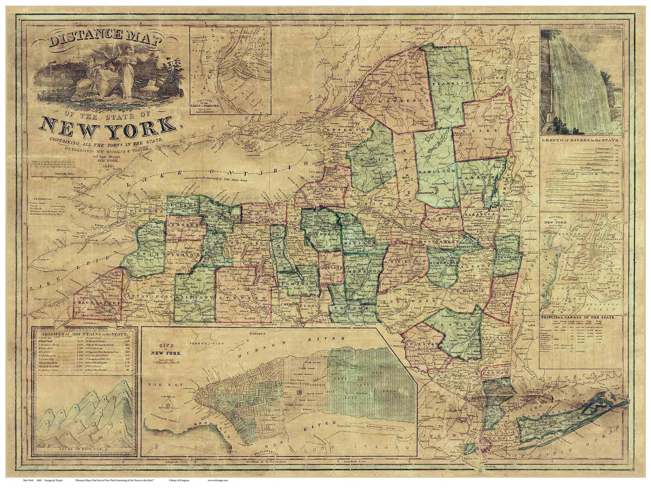
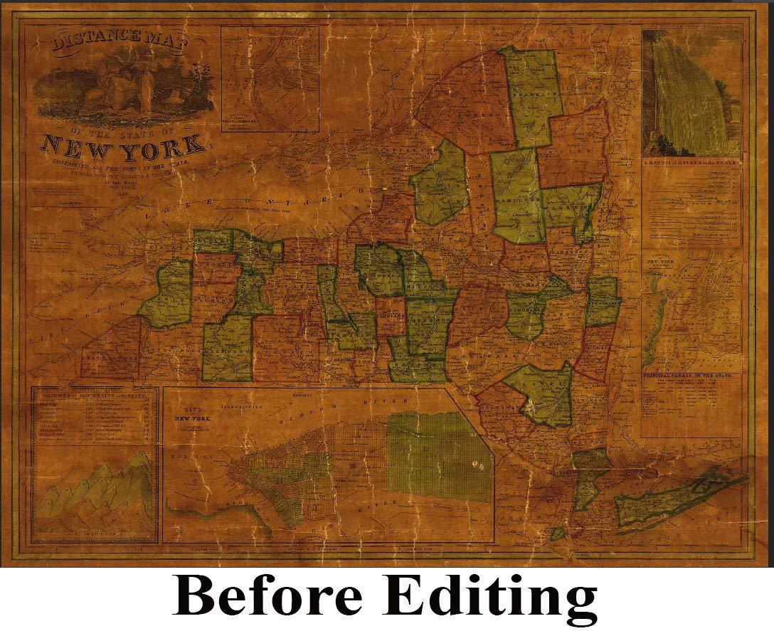
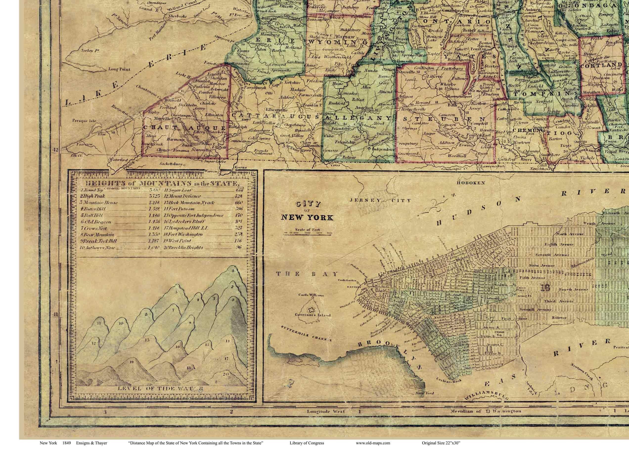
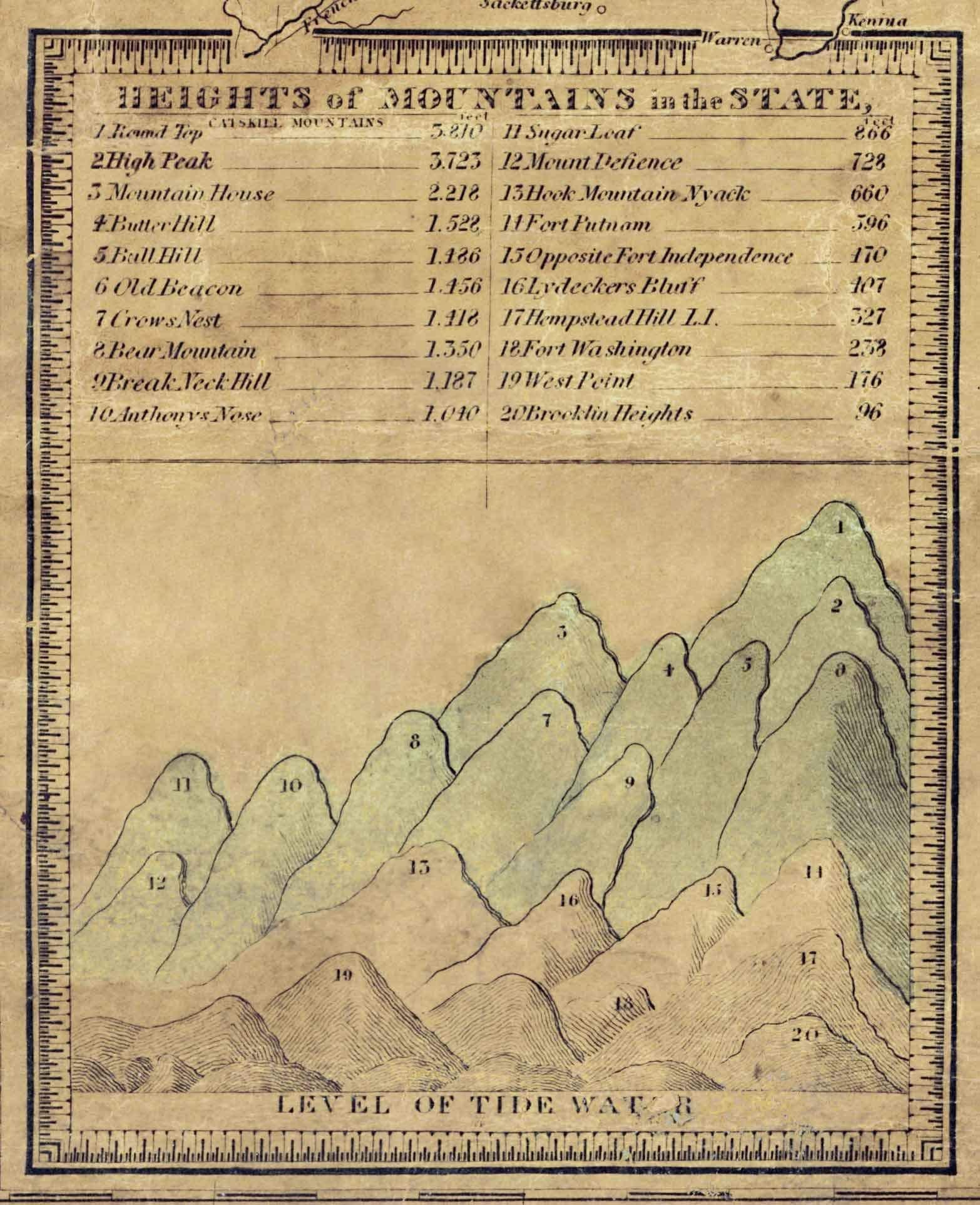
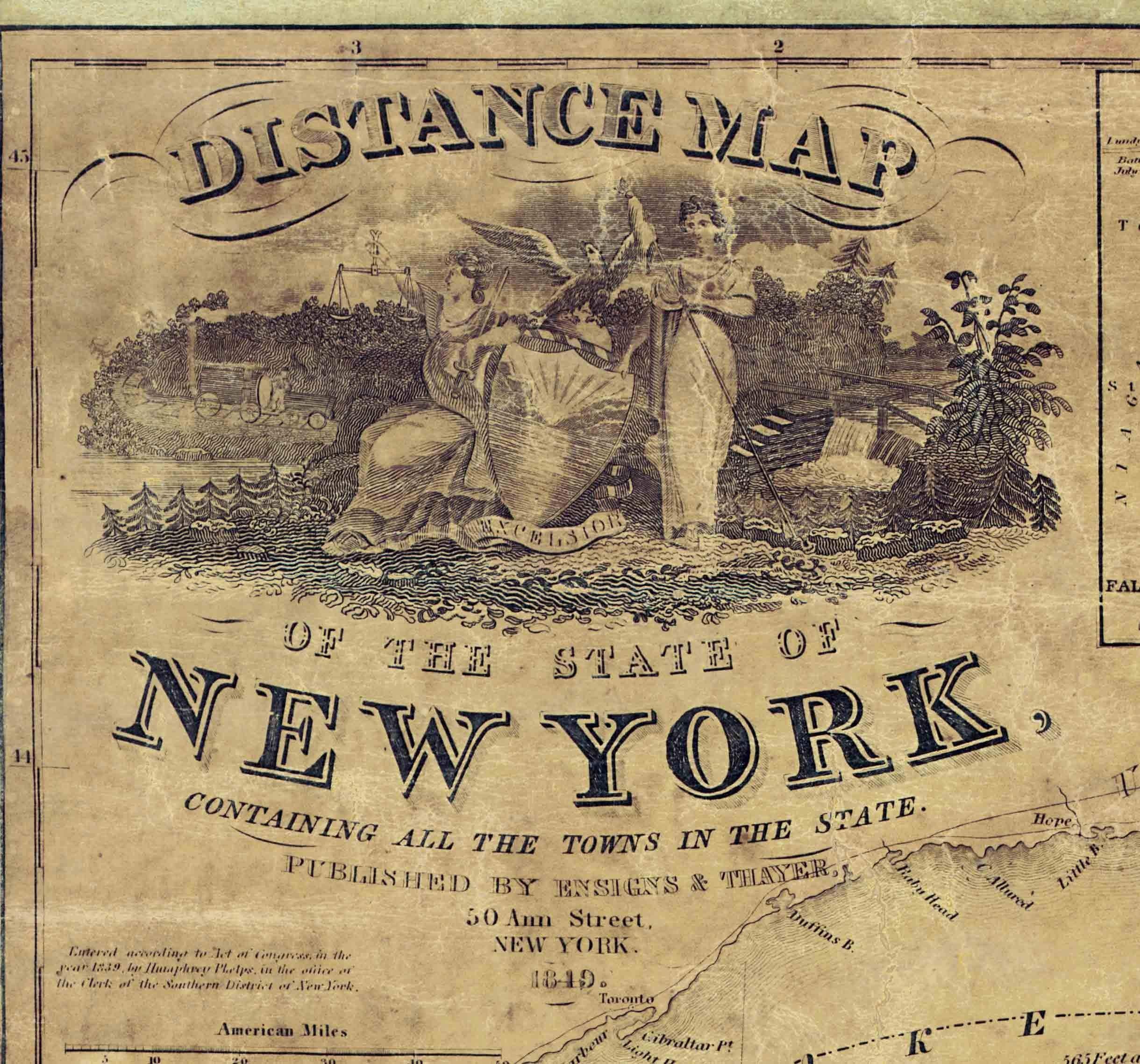
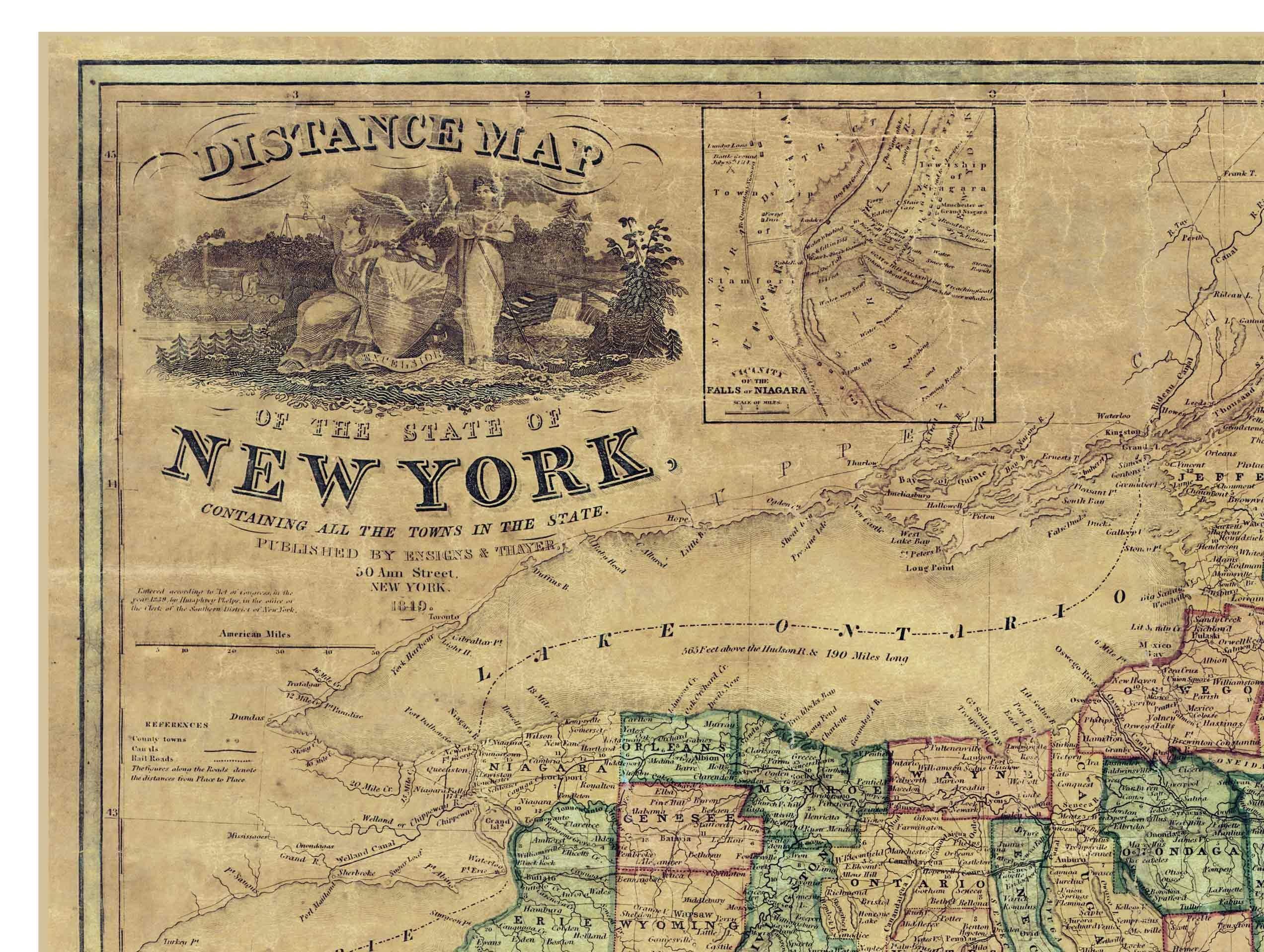
This is an especially attractive old map of the state with its colored county lines, ornate title block and engraving of Niagara Falls. Shown are principal roads, county boundaries, railroads and the Erie Canal. We edited the original scan from the Library of Congress to improve the appearance of the map. Available in different sizes. The original map is 23" x 31" Printed on heavyweight stock with Canon ink.